Walking
 Though it's pretty obvious I haven't been running lately, I've still felt the need to get outside and move around a little. So, over the past few weeks, I've started walking quite a bit, which seems like a good compromise for now. Most of the walks have been between five and seven miles long, though two weeks ago I made a 3.5 hour, 10+ mile trek that took me from Greenpoint down to the Williamsburg Bridge, over into Manhattan, up to the Queensboro Bridge, across into Queens, and then back home. Some of the shorter ones have included walking from home to a doctor's appointment near Columbus Circle (via the Queensboro) and walking to Union Square (over the Williamsburg Bridge).
A week and a half ago, I walked to downtown Brooklyn (I rode the G train home, though I think I could've walked back faster). Unlike some of the other long walks I've done lately, this route was entirely within the borough, and the route took me along a number of streets that I hadn't yet run on. They were "unique miles," in other words, but since I wasn't running I haven't counted them toward the total mileage or anything.
Not yet, at least. In fact, I'm not really sure what I'll do. Part of me thinks that walking might be a great way to see some of the neighborhoods I haven't spent much time in, and add some miles to my totals. But another part thinks that anything short of running would be cheating, for lack of a better word. Walking certainly has its advantages -- I can carry more stuff with me, it's much easier to stop and look at things, and I'm a lot less conspicuous than I am in sweaty running clothes.
But it's not running. I have to do some traveling over the next few weeks, so it's not like I have to figure it now. Anyway, here's a map of the route, and a few pictures from along the way:
 5/30/07 (Walk)
Greenpoint, Williamsburg, Clinton Hill, Fort Greene, Downtown
Distance: 4.94 miles
Time: 1:25
Pace: 17:12 (!)
click on the image, etc.
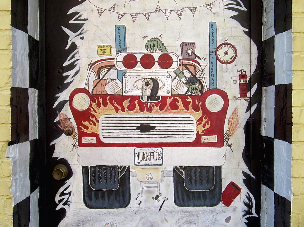
Leonard Street

Myrtle Avenue
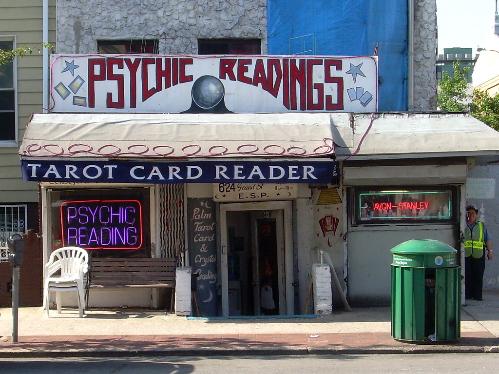
Bedford Avenue
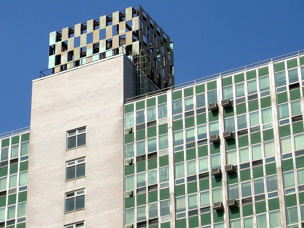
Willoughby Street
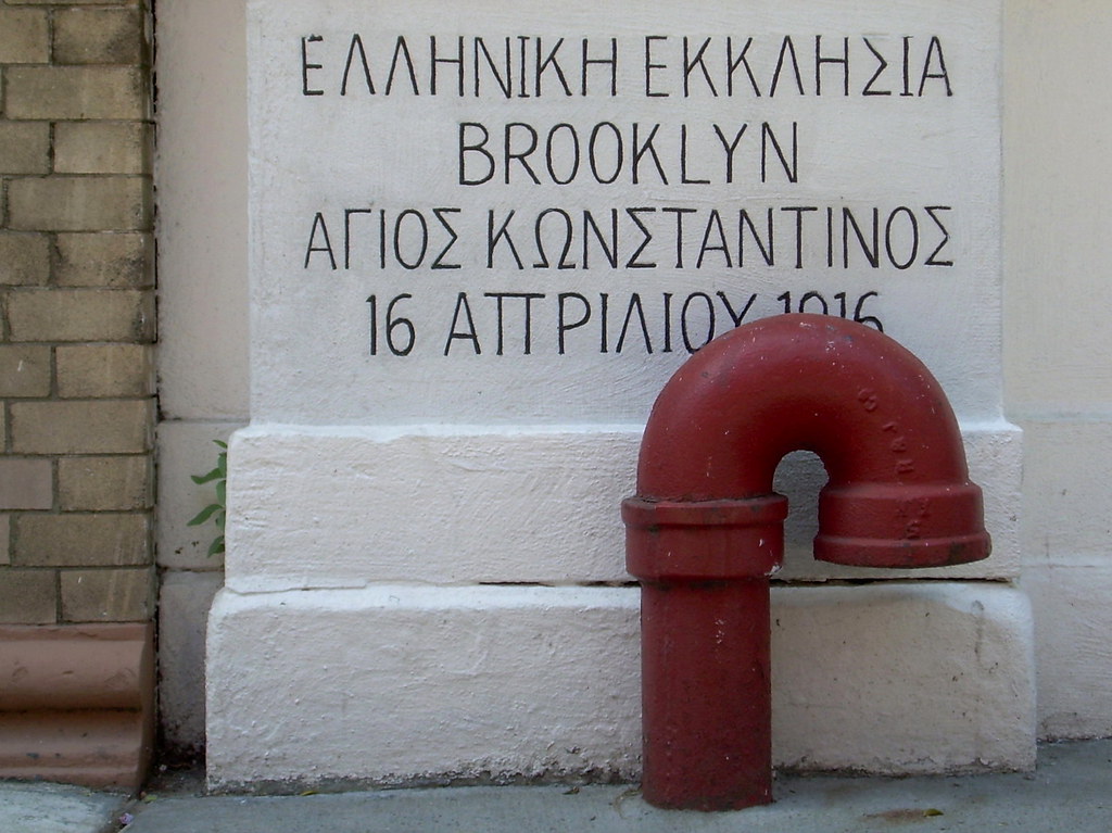
Schermerhorn Street
posted by Gary @ 8:54 AM
5 comments
![]()

5 Comments:
very kool post, if you don't mind me asking but how did you embed your google map into your blog?
The 10-miler over the two bridges sounds fun! Also, I really like the Myrtle. Ave. photo!
Whoa, it's been a while since I checked on things. Sorry about that!
Rockrunner, I'm almost embarrassed to explain how I put the maps in there, since it's so low-tech and I'm sure there are much easier ways. First, I trace my route un the google map using the Gmaps Pedometer website:
http://www.gmap-pedometer.com/
Then I center the map in a way that looks good, do a screen capture of it, and convert that image to a jpeg. After that, I save the route on the gmap-pedometer site (which gives the map its own URL). Then, I upload the jpeg to the blog, and create a link on the image to the saved route. I know, I know. There are probably ways to do it in like five seconds or something.
And Jen,
The 10-miler was great fun. I wish I could do more of those -- it seems like about a perfect distance for walking. I can get it done in three hours or so, and it doesn't leave me feeling all sore and tired like running. And, as you've pointed out, you see a lot more when you're walking.
that were really great photos!i like it!
Well... round about every blog posts online don't have much originality as I found on yours.. Just keep updating much useful information so that reader like me would come back over and over again.
Post a Comment
<< Home