30 November 2006

Muggy Morning in Midwood

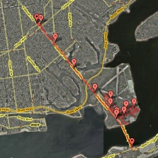
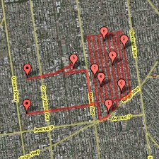
Thursday 11/30, Run #92: Midwood, Marine Park, Flatlands

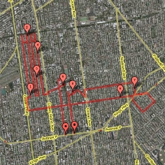
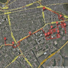
Distance: 8.70 miles
Time: 1:05
Pace: 7:28
Temp: 59
Dewpoint: 56
Weather: overcast & muggy

click on image for interactive map

Unique Miles Today: 7.11
Total Unique Miles: 718.33
Percent of Brooklyn Run: 41.23

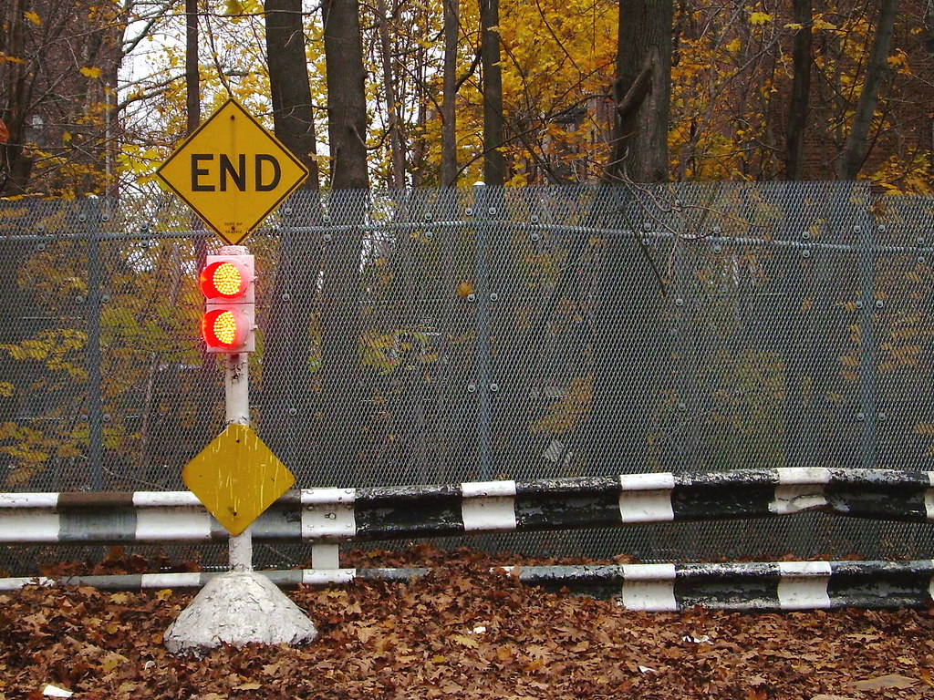
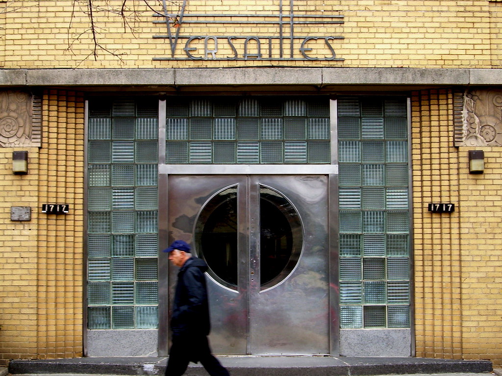
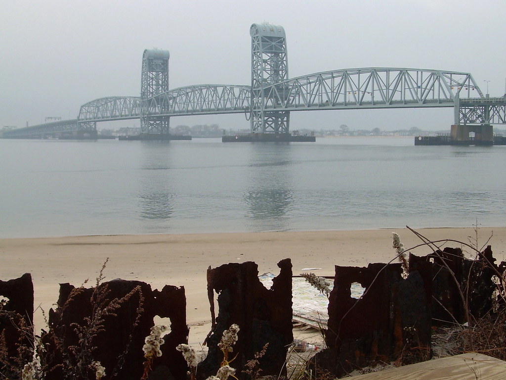
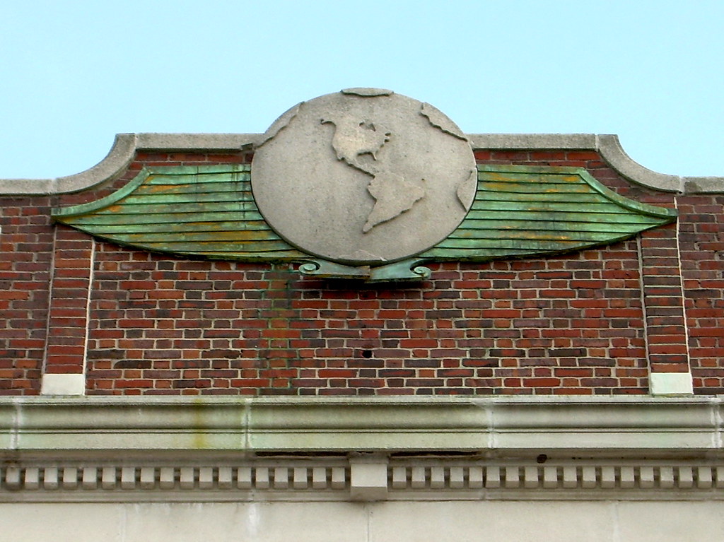
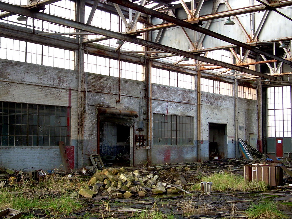
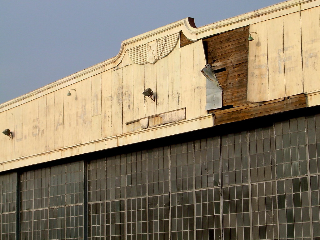
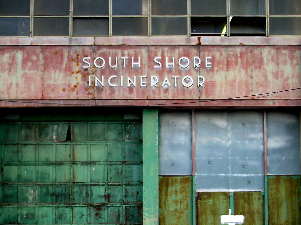
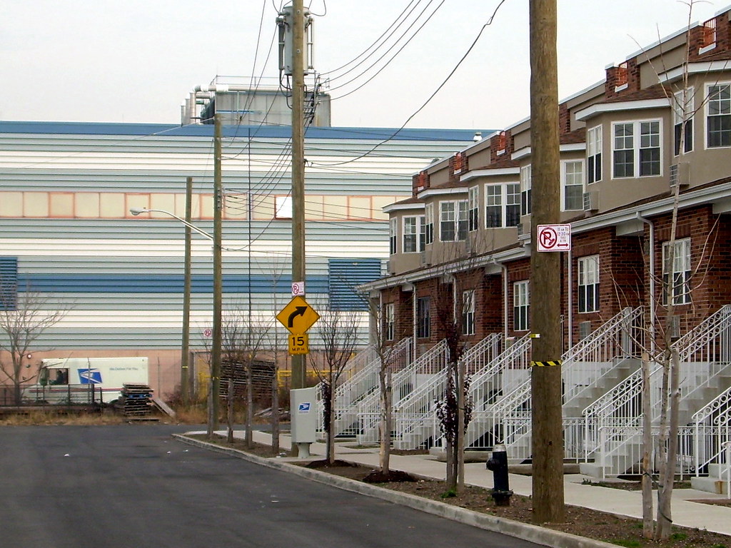
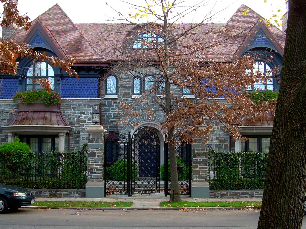
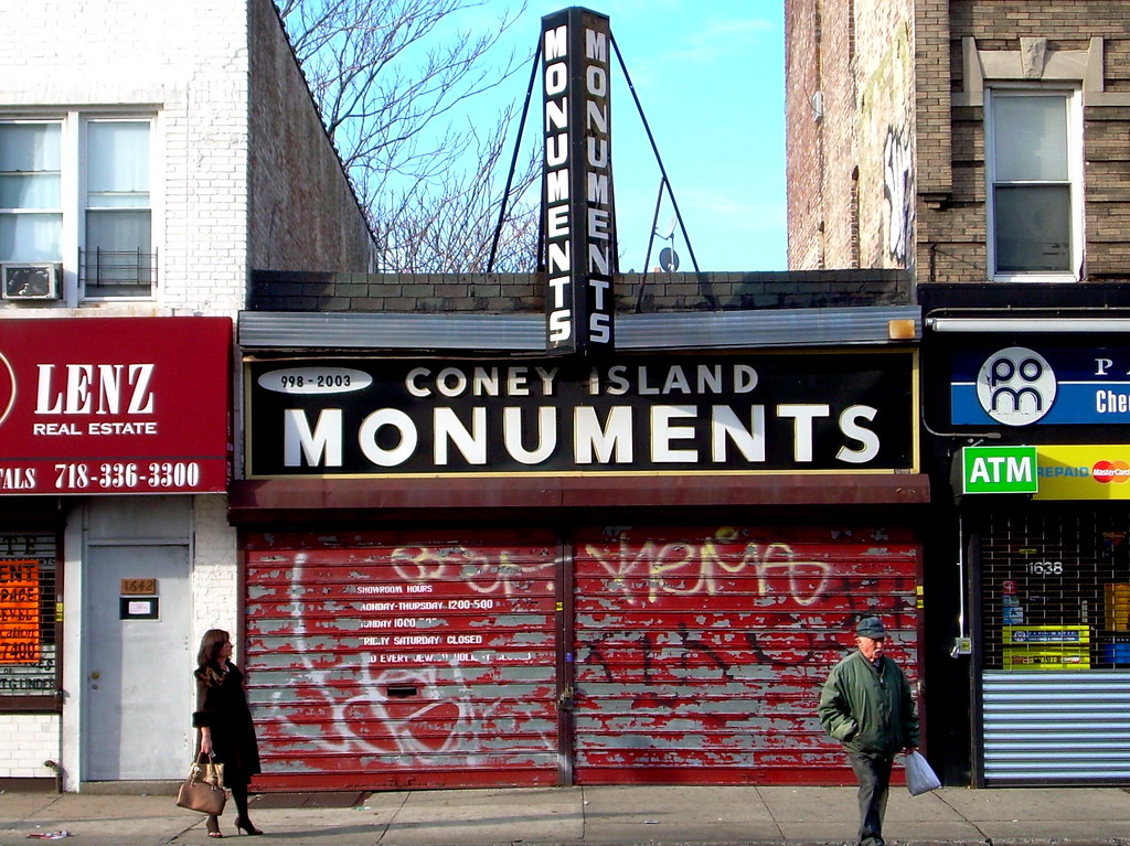
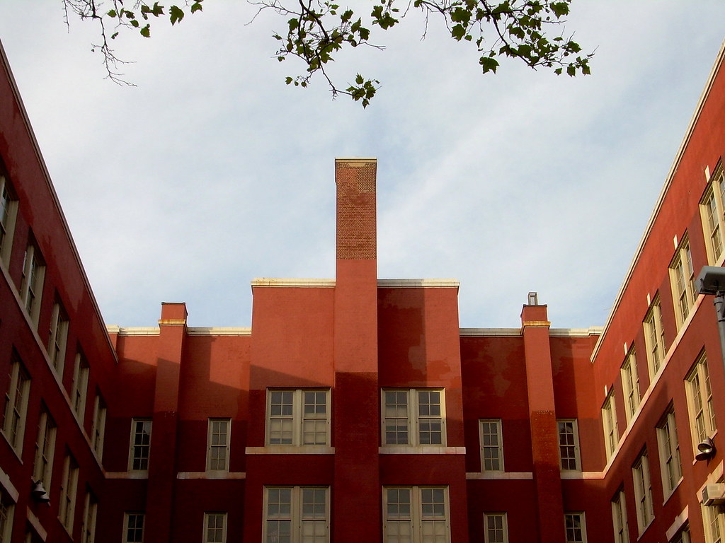
Notes: After a couple of longer, more complex, and logistically complicated runs, I decided to take it somewhat easier today. My destination was down in the Midwood and Marine Park neighborhoods, where I was able to dutifully fill in a number of streets (including a little stretch of Avenue P which I somehow had managed to miss previously) in a mostly quiet, residential area. It was a pretty straightforward route, and perhaps best of all (especially given how long it took me to get to the Marine Parkway Bridge for the start of yesterday's run), it both started and finished within a couple of blocks of the subway. I saw the typical Midwood Streetscape, for the most part -- a lot of large, single-family detached houses, some impressive old apartment buildings along parts of Avenue N (like the Versailles, pictured below), and the oddly inconguous Locust Avenue, a shorter street at an angle to the rest of the grid that dead-ends at the subway line and appears conspicuously out of place with its grittier and more industrial-looking buildings.

By the way, what's up with the weather? It was 59 when I headed out this morning, and the forecast is for a high in the upper 60s. Upper sixties! And tomorrow's the first day of December! In fact, now that I think about it, I haven't done a run yet this fall where I've worn anything more substantial than just running shorts and a t-shirt (though there were a few mornings when I started with a long-sleeve tee before shedding it after a mile or so and tying it around my waist). I mean, it's not like I'm really eager to run on a windy morning in the teens with snow and ice on the ground, but I wouldn't mind some, you know, seasonable weather. This morning felt a lot more like early September than the week after Thanksgiving.

Finally, I'm leaving early tomorrow morning for Georgia, to attend the memorial service for my sister Tara on Saturday. It'll be a quick trip (I'll be back Sunday night) but obviously, I won't be running again until at least Monday. See you then.

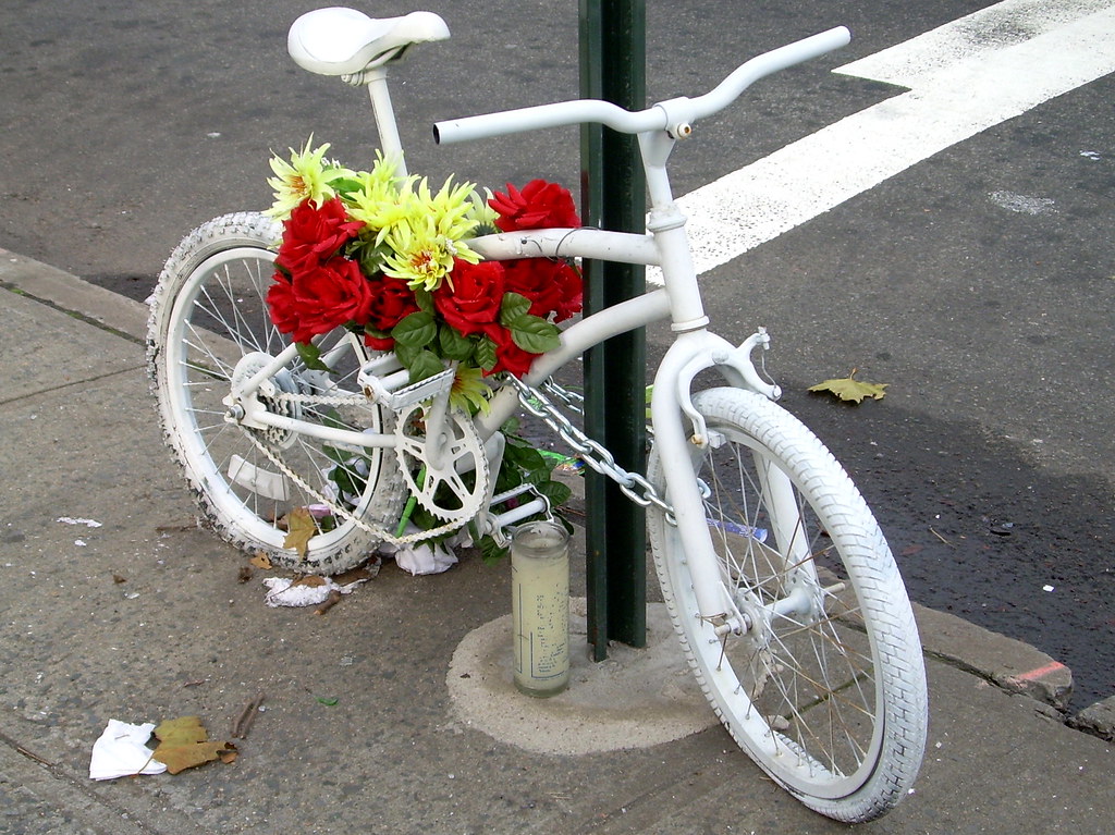
As always, some photos:

clock, midwood
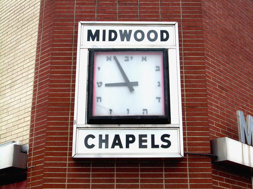
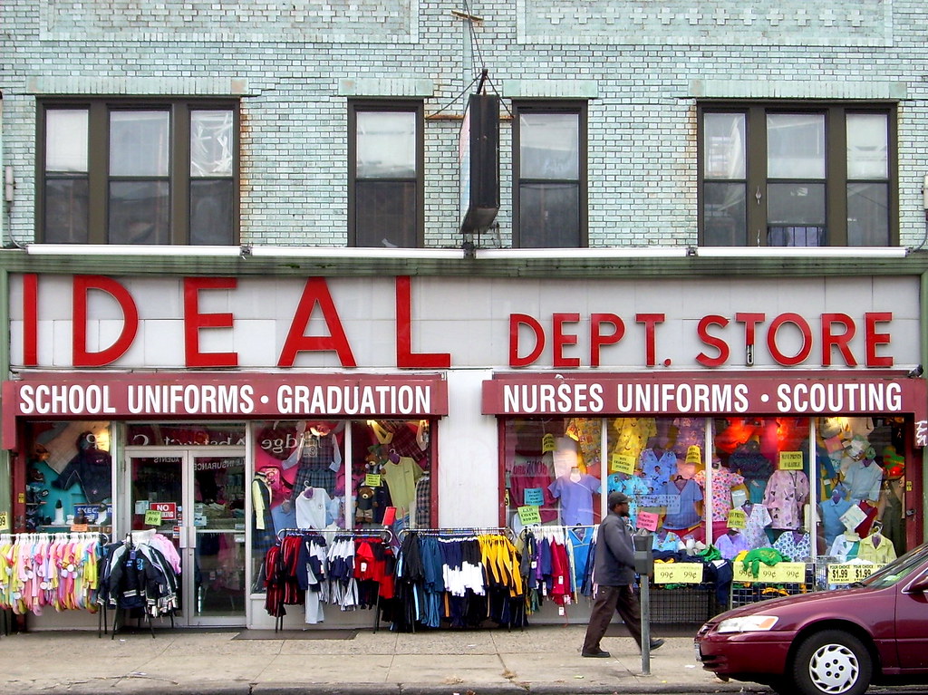
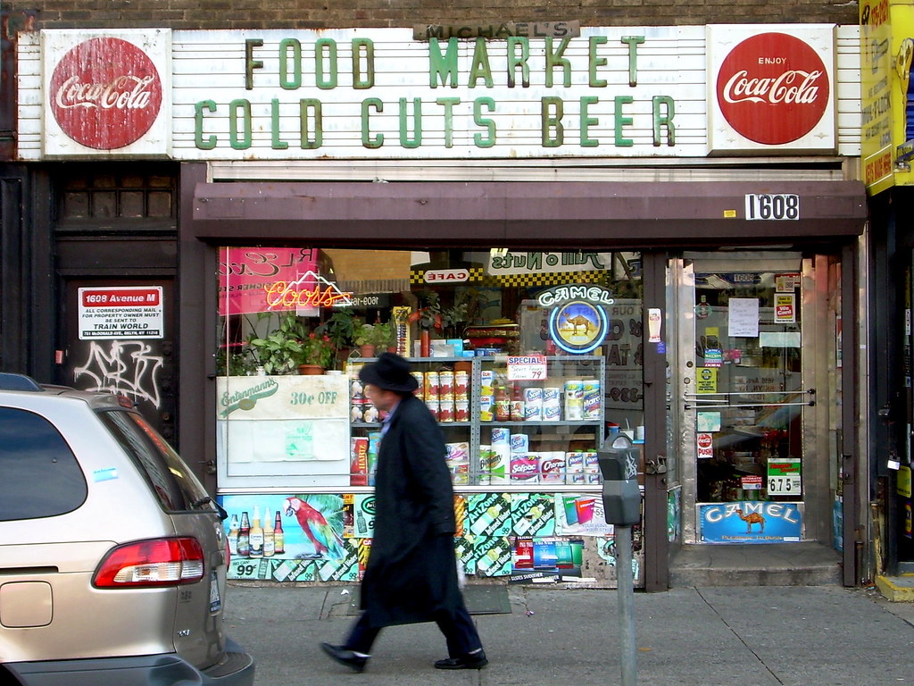
Corner of Coney Island Avenue & Avenue M
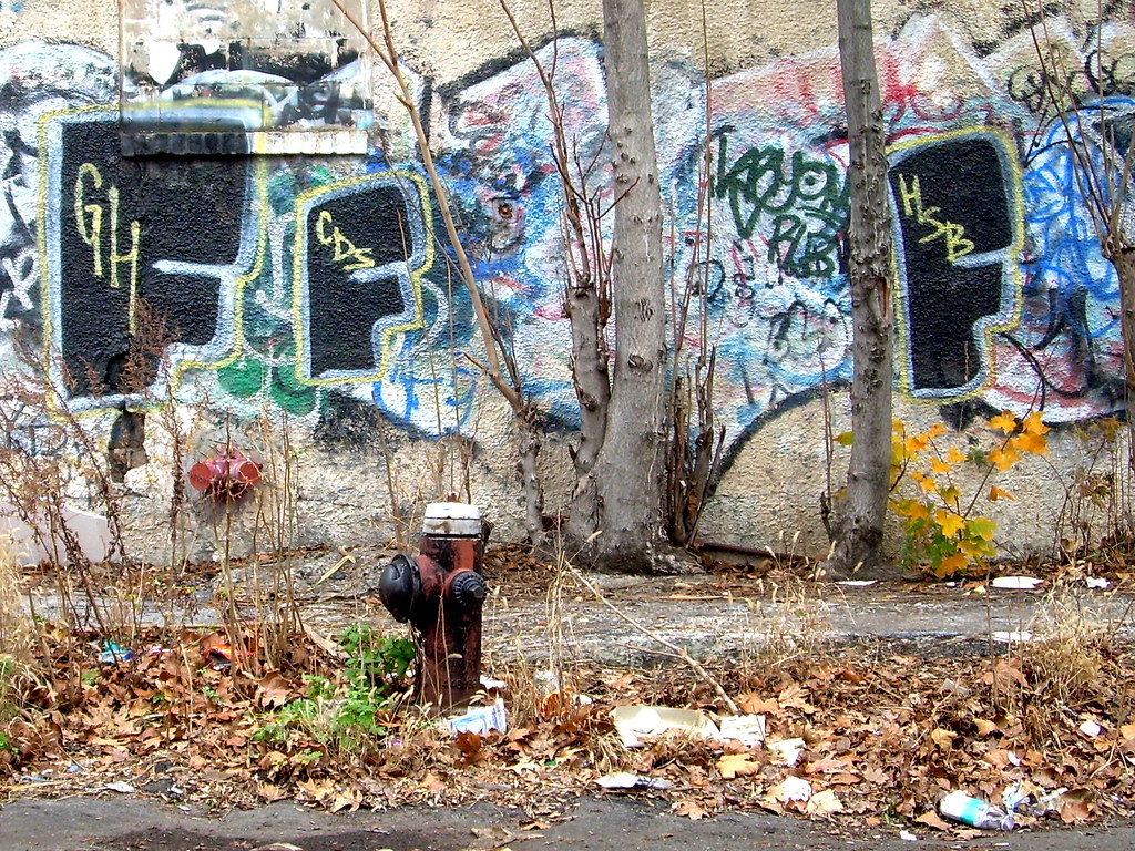
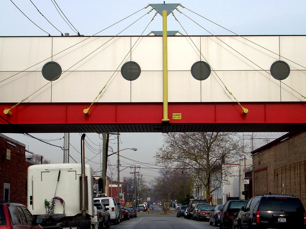
wall, midwood
Locust Avenue

water towers, midwood
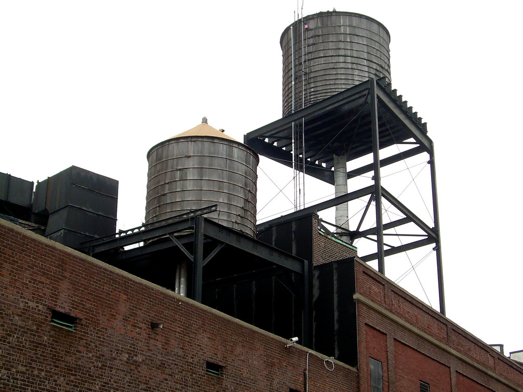
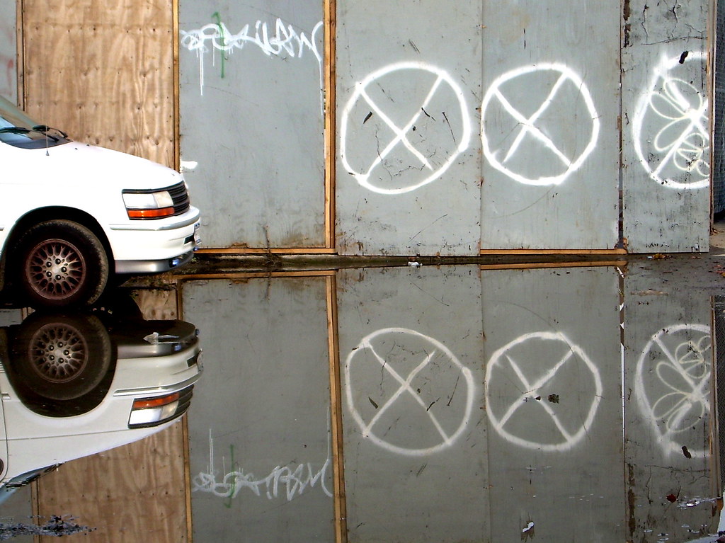
Corner of Locust Avenue and E. 13th
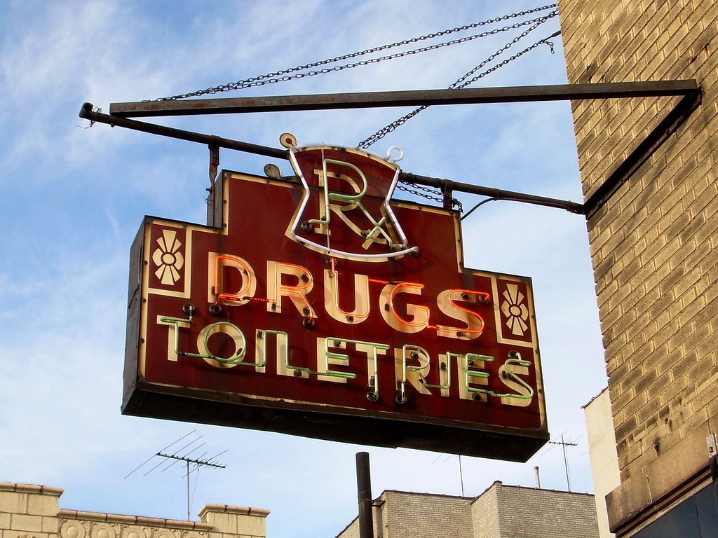
e. 9th street, midwood
E. 9th Street

versailles, midwood
Avenue N

29 November 2006

Some Truly Unique Miles

Wednesday 11/29, Run #91: Marine Parkway Bridge, Floyd Bennett Field, Flatlands

Distance: 11.34 miles
Time: 1:25
Pace: 7:30
Temp: 54
Dewpoint: 50
Weather: mostly cloudy

click on image for interactive map

Unique Miles Today: 8.20
Total Unique Miles: 711.21
Percent of Brooklyn Run: 40.82

For the complete route, click here

Notes: I use the words "unique miles" around here quite a bit, but the term also could apply to most of today's run since the route was so unusual in a number of ways. First, it was the only run I've done which actually began in another borough (Queens). Second, it's the only time I've started a run on a bridge (though back in August I did end one on the Pulaski Bridge here in Greenpoint). Third, it's the only time I've traveled by bus to get to the start of a run (the Q35, which took me from the end of the 2 subway line at Nostrand and Flatbush Avenues and deposited me in on the far side of Rockaway Inlet after almost half an hour). But mostly, it's the only time I've done the majority of a run on the grounds of an abandoned airport.

Floyd Bennett Field, which occupies most of a large peninsula in the southeast corner of Brooklyn (it was originally an island, actually), was intended as New York Mayor Fiorello LaGuardia's answer to Newark's burgeoning commercial airfield during the 1930s. For a number of reasons (including the Post Office's refusal to move its airmail terminal there), the airport never, uh, took off, and during World War II the US Navy moved in, using it as Naval Air Station Brooklyn until 1971. The following year, the National Park Service took over, incorporating it into the Gateway National Recreation Area. Though it never amounted to much as a commercial venture, it was apparently particularly attractive to a number of famous aviators back in the 1930s -- including Amelia Earhart and Howard Hughes -- who used it as a base for various record-setting flights.

I won't go into the airport's history here since it's well-documented elsewhere (if you're interested, check out the links below), but it was an especially interesting place to run. It doesn't look like much has happened since the Navy left back in the 1970s -- a number of deteriorating buildings dot the landscape, in various stages of abandonment or disrepair. The NYPD has a sizeable corner cordoned off for a training facility (I asked the guard if I could run there, but was politely denied), and the Sanitation Department has a similar operation going on. The Park Service maintains several buildings, and there are even a few private residences (in what I assume were the former homes of Navy officers, though I'm not sure). The majority of the land is empty, however, with broad concrete runways taking up quite a bit of the real estate. On the southwestern edge (along Flatbush Avenue) are the old hangars and the administration building, which now houses Park Service offices and an information center. One of the hangars has been converted to a huge, modern gym/fitness center/entertainment complex called Aviator Sports, which evidently only opened two weeks ago. I didn't go in.

Like Fort Hamilton, I'm not sure if Floyd Bennett Field is even considered an actual part of Brooklyn (especially since it's under the jurisdiction of the National Park Service). But I really enjoyed running around the old airfield, partly because there was almost no one around, and partly because it was, to be honest, kind of cool to be running down what used to be an old runway and poking around the hangars. The Marine Parkway Bridge (which connects Brooklyn and the narrow little strip of Queens that fronts the Atlantic Ocean) was also a lot of fun to run across, largely due to the fact that it had a separate pedestrian/bike lane, adding both to the safety and legality of my crossing.

Finally, this now wraps up my goal of running everything south of a line across the borough formed by 65th Street, Avenue P, and Flatlands Avenue. As you might recall, I did this because I live in the northernmost neighborhood in Brooklyn, and wanted to finish up the areas farthest away before the cold weather set in. (Considering it was close to 60 degrees today, I'll say "mission accomplished.") Anyway, as soon as I figure out some kind of strategy for the next portion of this project, I'll be sure to post it. In the meantime, here are a number of links (the Forgotten New York page is especially interesting and includes dozens of pictures), as well as a few photos.

marine parkway bridge
Marine Parkway Bridge

building, floyd bennett field
Detail on the old administration building at Floyd Bennett Field

hangar, floyd bennett field
Inside one of the old hangars

hangar, floyd bennett field
Outside one of the old hangars

drugs, flatlands
Corner of Flatbush Avenue & Kings Highway

ideal, flatlands
Flatbush Avenue

28 November 2006

Out on the Eastern Frontier

Tuesday 11/28, Run #90: East New York

Distance: 9.43 miles
Time: 1:10
Pace: 7:25
Temp: 54
Dewpoint: 45
Weather: mostly cloudy

click on image for interactive map


Unique Miles Today: 7.68
Total Unique Miles: 703.01
Percent of Brooklyn: 40.35

For the complete route, click here

Notes: Today's was another run I'd been dreading for a while. Not so much because of the neighborhood itself (though most of it was in a rather bleak and industrial corner of East New York), but because the route included several areas where I really didn't know what I'd find until I got there. In fact, there were at least three separate spots that were empty on the "big map," but in which Google maps showed some sort of development (like vacant land being graded in patterns that resembled the street grid, for instance), suggesting that roads may have been built there subsequent to the satellite pictures being taken. Perhaps because of my somewhat obsessive nature, or maybe because I simply don't enjoy being lost, I find that I anticipate (and enjoy) my runs much more when I'm pretty sure about where I'm going and can sketch out the exact route on my little map ahead of time. And that wasn't the case today.

Yet I ran anyway -- I'd have to do it sooner or later, of course, and I figured I might as well do it now when it's unseasonably warm out. And now that I'm back home and looking over the "big map," I'm glad I did. The route plugged up a lingering (and sizeable) hole along the Brooklyn/Queens boundary (I've now run the entire length of this border, with the exception of a little piece in the Highland Park area and the parts up here in Greenpoint and Williamsburg), and filled in a number of streets in the far southwest frontier of the borough. I didn't run through many tree-lined residential streets, since wide swaths of this region are filled with public housing complexes (at different points I ran near or through the Louis Pink, Boulevard, Cypress Hills, and Linden projects), warehouses (especially south of Linden Boulevard), and an enormous US Postal Service facility, which sprawls over something like a dozen blocks. There is also the MTA's Spring Creek Bus Depot down that way, as well as a large Sanitation Department facility on Forbell Avenue.

Overall, though, this area leaves a decidedly mixed impression. On the one hand, it's easy to tell you're at the (seemingly forgotten) edge of the borough. Empty lots -- strewn with trash and weeds and who knows what -- abound, and sidewalks are damaged or nonexistent for whole blocks. Some streets were flooded with several feet of water. Roads are cracked and filled with potholes. And the brave motorists that venture through anyway seem to have incorporated the frontier mentality into their driving -- stop signs, for instance, were almost universally ignored. But on the other hand, whole blocks were being developed with fairly attractive rowhouses and apartments, complete with little yards now bearing a few strips of fresh sod (and yes, several new streets had apparently been built). Indeed, an article in the Post from last summer detailed how "luxury" houses costing $500-600K were being constructed in the neighborhood (only a few blocks from the notorious Louis Pink project), and were selling faster than they could be built. So it's really a mixed bag -- half blighted decrepitude and half new investment and development. It'll be interesting to see what this area's like in 10 or 15 years.

Oh, and by the way, two minor milestones today: first, I topped 700 unique miles, for whatever that's worth. And second, I (finally) reached 40% of Brooklyn run (it seemed like I was mired in the 30s forever). Despite the week and a half I'll be at my sister Mel's in California for Christmas, I'm still hoping to hit the halfway mark by the end of January. As always with this whole thing, time will tell.

Okay, sorry for the long post. I'll shut up now and quickly move on to the photographic segment:

puddle, east new york
Sapphire Street, on the Brooklyn/Queens border

logan street, east new york
Looking north on Logan Street

incinerator, east new york
Old incinerator on Forbell Street

new houses, east new york
New houses on Grant Avenue, with the huge Postal Service facility beyond

ghost bike, east new york
Ghost bike memorial for 10-year old Shamar Porter on Linden Boulevard (click here to see the photo essay on ghost bikes from Sunday's Times)

26 November 2006

All Abuzz in Midwood

Sunday 11/26, Run #89: Midwood

Distance: 8.63 miles
Time: 1:05
Pace: 7:32
Temp: 47
Dewpoint: 38
Weather: mostly sunny

click on image for interactive map


Unique Miles Today: 7.93
Total Unique Miles: 695.33
Percent of Brooklyn Run: 39.91

For the complete route, click here

Notes: When I was a young boy back in the 1970s, long before I ever dreamed of running as something of a recreational activity, there were a lot of people worried about killer bees. Allegedly, some honeybees that had interbred with wild African bees had somehow gotten loose in Brazil, and were making their way through Central America and Mexico and on into the United States. Widespread fear was stoked by books like Arthur Herzog's novel The Swarm (and its subsequent Irwin Allen film adaptation), and -- if I remember correctly -- at least a few kitschy and sensationalistic made-for-TV movies.

What does this have to do with running Brooklyn? Not much, except that like the killer bees, I continue my inexorable march north. Today found me back in Midwood, a pleasant, mostly residential, mostly Jewish neighborhood that is -- as its name might imply -- kind of in the middle of Brooklyn's southern half. I did not, however, see any woods, but there were plenty of streets, and since I'm a little tired today and simply didn't want to deal with a lot of planning, I plotted a fairly simple route that took me back and forth in area mostly between Avenues K and O. And keeping in mind that the street grid in Brooklyn continues well south of Avenue Z, that represents real, measurable progress. Furthermore, I have every intention of actually continuing to press northward -- unlike the aforementioned lazy bees, whose killer instincts proved quite underwhelming and which mostly ended up sticking around Texas. This, of course, is fine with me.

Whatever. Though the streets I ran today were mostly residential, there was an interesting mix of housing. Larger apartment buildings were more common on the western edges of the route, while single-family homes -- some of them remarkably large and newish-looking -- dominated to the east of Ocean Avenue (I've included a picture of one of the more striking examples below). It was another pleasant morning in the 40s, and though the forecast calls for more nice weather tomorrow, I'm taking the day off. In fact, today's run made three in a row, the first time I'd done that since early September. Anyway, I'll probably be back on the road Tuesday. In the meantime, here are a few photos, and I'll keep you posted regarding any further developments on the bee front.

food market, midwood
Avenue M

house, midwood
Residence on E. 23rd Street

sign, midwood
Avenue M

monuments, midwood
Coney Island Avenue

ps 197, midwood
PS 197 on E. 23rd