Complicated Route? Not a Problem
 Saturday 10/21, Run #69: Coney Island, Sheepshead Bay, Brighton Beach
Distance: 9.82 miles
Time: 1:15
Pace: 7:38
Temp: 48
Dewpoint: 34
Weather: sunny & windy
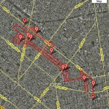
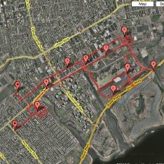
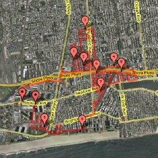
click on image for interactive map
Unique Miles Today: 6.52
Total Unique Miles: 546.60
Percent of Brooklyn Run: 31.37
Route: Click here if you really want to see all of it...
Notes: This may be the most complicated route I've done yet, but there's also good news, I promise. In fact, the run was so complex and writing it out took so much space that I've decided to test out something new today -- I've created a separate page with the turn-by-turn description of the route, so readers won't have to scroll through it all just to see the pictures (not being particularly tech-savvy, I just made a new post with the info and back-dated it). Besides, I pretty much only provide these routes as a hedge against my poor memory, and as documentation I can use if I ever get confused about where I've been and where I haven't. No one reads them, I don't think (geez, I hope no one does -- these things could put anyone to sleep). So if you're interested in the route, just click on the link above. Otherwise, read on.
Anyway, there are several reasons why I had to follow such a byzantine path today: For one, this part of Brooklyn is not laid out in the systematic grid that characterizes great swaths of the rest of the borough. Second, the streets are often very close to each other, as much of the housing is in large apartment buildings than townhouses or one- or two-family houses. Third, there are a number of very narrow streets, and even a few pedestrian-only alleys and paths. And finally, two elevated subway lines and the Belt Parkway run right through these parts, with lots of dead ends and access roads and all kinds of things. Add to this the fact that the street-naming system is sometimes confusing -- you've got Brighton 1st Road right next to Brighton 1st Place, for example, with Brighton 1st Street and Brighton 1st Terrarce right nearby -- and it was one of those runs where I felt like I spent as much time squinting at my little map as I did gawking at the buildings and scenery and people out on the sidewalks. Yikes.
But, as mentioned, there were some redeeming features, too. One is that I think I can finish up the whole Coney Island peninsula with just three more runs, so I won't have to worry about these labyrinthine and almost absurdly complex routes much longer. Second, it was a gorgeous morning (for me, at least) -- it was about 45 degrees with bright sunshine when I hit the road, with a crisp and vigorous northwest wind making the awful mugginess of midweek a distant memory. Third, these neighborhoods are simply a lot of fun to run in, and some of the older apartment buildings in Brighton Beach are really beautiful. And last, the G train has been replacing the F on the weekends lately (to accomodate construction or track work somewhere), which essentially means I can pick up the G here in Greenpoint (a block from my apartment), and take the subway clear to Coney Island without transfering or waiting for other trains or anything. Nice.
I'll be heading down that way again tomorrow, probably. The tentative plan is to do most of the rest of Coney Island tomorrow morning, and then next weekend I can do Sea Gate, finish Coney Island, do one last run in Brighton Beach, and be finished, believe it or not, with all of these neighborhoods. At least that's what I'm hoping...
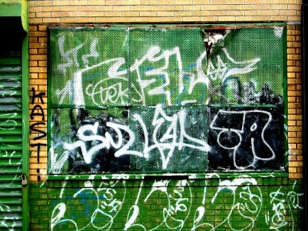
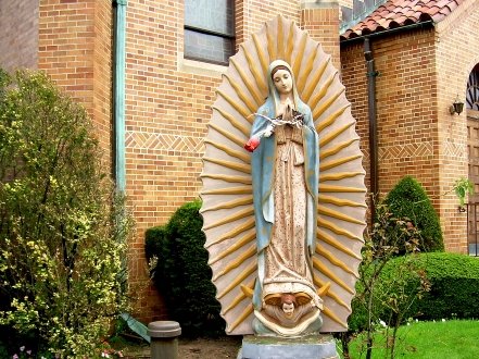
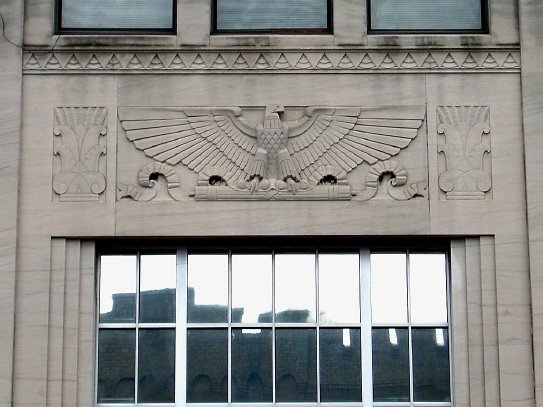
For whatever reason (probably the aforementioned staring at my map), today wasn't a very good picture day, but here are a few anyway:
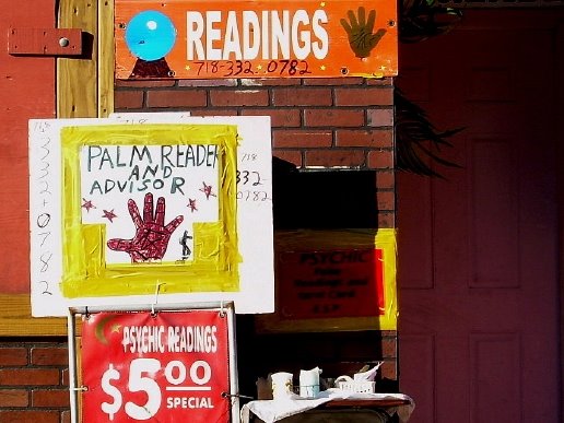
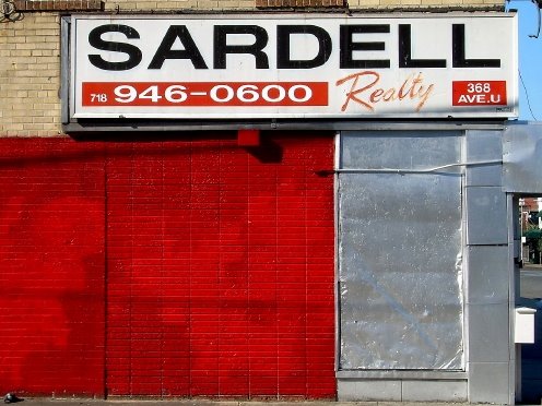
Palm reader on Sheepshead Bay Road
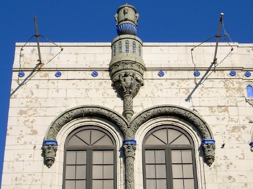
Apartment buildings on Brighton 5th Street

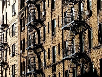
Under the elevated subway tracks, on Brighton Beach Avenue

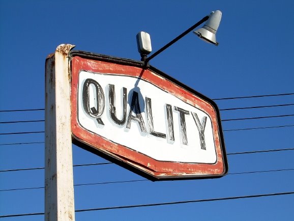
Coney Island Avenue
posted by Gary @ 2:05 PM
1 comments
![]()